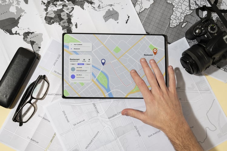
Geography is an interesting subject as it helps you learn about other countries and the people who live there. In the past, teachers brought maps or globes to show the different places you should know.
Today, geography has become more interesting as schools now use virtual globes. For instance, using Google Earth allows educators to build a special understanding among their students using a more interactive method. Google Earth supports student learning and increases interactivity levels and learning experiences for everyone.
In today’s world, society has become globally interconnected. It has also become more important to understand the world around us. Google Earth and other mapping tools aren’t just about geography.
Using Google Earth and other tools will help you learn more about diversity across cities and biomes, measure how rivers have changed their shapes and courses over time, or create projects that highlight architectural styles throughout the ages. Using these tools in the classrooms will help you visualize abstract concepts using a global canvas and allow you to connect whatever you’ve learned inside to what you’ve experienced in your daily life, community, and the rest of the world.
Using Google Earth is very easy and it presents information in a visual way. This information applies to various subjects addressed in courses related to geoscience and other similar courses. Since it offers the ability to add this information and combine it with a 3D Earth model, this makes it easier to understand the Earth system and all of the subjects related to it.
These areas may include social sciences, natural sciences, history, engineering, art, and other topics with geographic components. The information that you can see on Google Earth includes satellite and aerial imagery along with the many layers offered by Google’s database.
Also Read: 7 Best Free Language Learning Apps
The data that you receive from Google Earth is interesting and you can easily apply everything you’re learning. But when you feel too burdened with unnecessary written work from your teachers, you won’t have time to do this. In this case, the Internet will help you out. You can hire writers from Edubirdie to complete your paper or essay. This service offers a high qualification, which means that you will get better grades and extra time to spend on more interesting things.


Google Earth isn’t just about looking at geography. For literature, it also offers Lit Trips that are primarily dedicated to helping teachers use Google Earth tours for their literature sessions. In a Lit Trip, students can explore various places that play a significant part in a story or any places that play an important role in the author’s life. Google Earth’s desktop version even comes with built-in tools that can help teachers create tours of landmarks around the world.
There is also the web version of Google Earth, though it doesn’t have the same tools for recording tours as the desktop version. Still, it also offers the option to create placemarks. You can use this feature to create your own tour.
Another feature of Google Earth is that it includes tools for measuring distances in different units. You can use these measuring tools to complete activities. They’re designed to help you understand scale, units of measurement, and distance.
If you’re interested, you can check out online videos and tutorials to find activities or lessons that incorporate measurements. Then you can use these alongside Google Earth. If you need to give a presentation about a place you’re studying, you can do this using Google Earth tour. Rather than using slides, a better alternative is to use the custom placemarks and show them in full size.
Also Read: Why It’s Useful To Keep Up To Date With The Daily News
You can casually browse on your own when they use Google Earth. You can also engage in structured inquiry-based explorations either with your teammates or individually. If you use Google Earth Pro, you can download it without charge for all of the major operating systems.
This means you can freely use this program in school, for homework, or even for fun. You can create your own data with ease, then save the information in data files or save them as image files to incorporate into your oral reports or presentations.
Conclusion
We can all travel the world virtually using Google Earth. The powerful online tool is free-to-use. Because of recent events, Google Earth has become a valuable tool used for remote learning. It’s now a resource that can help you experience our planet Earth and learn other things too.
If you wish to download and update the RNDIS device driver for Windows 10/11 or…
In the event that you are interested in executing the Bose Headset drivers download and…
If you are also facing the Guided Access not working issue on your iOS (iPhone)…
If you are looking for the best privacy screen protector to use the smartphone freely…
If you are looking for the perfect alternative to Apple Pay, refer to the Apple…
How to scan documents on an iPhone? If you have the same question, then you…